
- AIrNav Pro.jpg (67.68 KiB) Viewed 6622 times
The application and certain maps are free but other maps will cost you to download them (not unreasonable though).
AirNav Pro has full EFIS capability, including:
1. Full Aeronautical Maps (with normal smart-phone interaction of scrolling and zooming, etc. along with airspaces, airport and VOR/DME, etc. information and terrain awareness e.g. red hue for danger)
2. Moving Map
3. Flight Planning (including inflight editing through smart-phone interaction - just drag leg to create new waypoint)
4. Flight Instruments - Flight Time, Ground Speed, Compass, Variometer, ADF, Altimeter
5. Live Flight Tracking
6. Flight Recording/Log Book
7. 3D Synthetic Vision (3D view of terrain showing airports, nav points and peaks)
Applications exist for both iPad/iPhone (IOS) and Android devices.
http://www.dixdouze.com/xample/index.php/airnavigation
Once downloaded you run the application whilst flying and it tracks your flight in real time, delayed by around 30 seconds! I had someone tracking me from home, with the dots appearing on their screen as I progressed along my route!
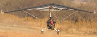
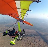
Here is the tracking of my flight this morning from Rhino Park to Aeroden, having routed over my farm (just south of Hartebeespoort Dam) before returning to Aeroden.
John.com